
(10AM EST – promoted by Nightprowlkitty)
 Upthrust |
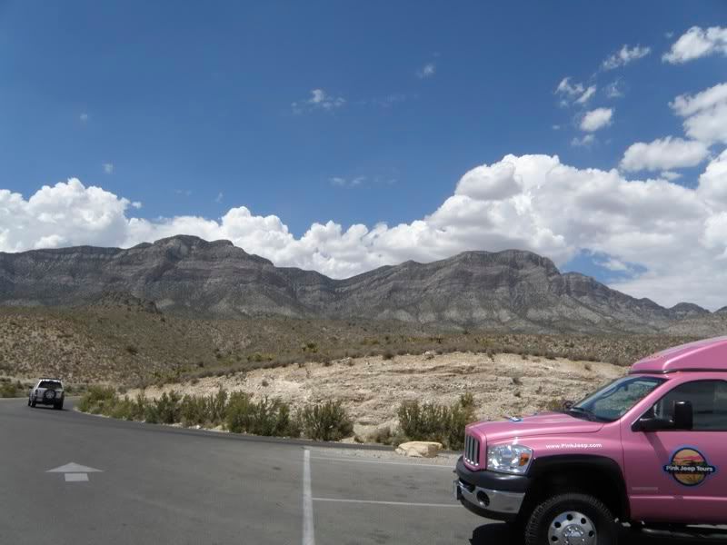
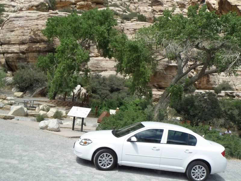
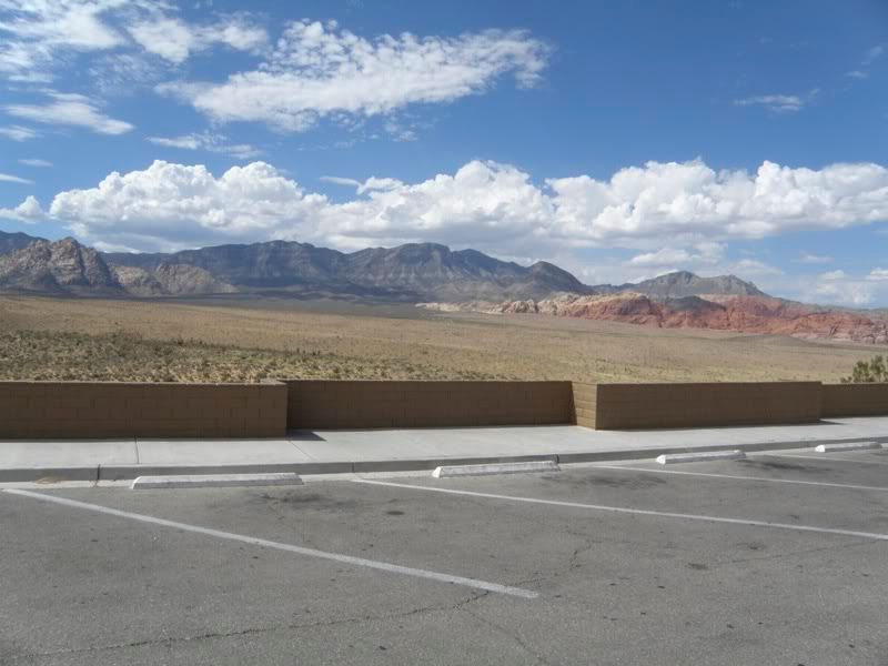
On our last day in Las Vegas, our plane wasn’t scheduled to depart until 9:50 pm, so we checked out of our room and checked our bags with the bell desk, and took a tour with Pink Jeep Tours of Red Rock Canyon National Conservation Area.
We didn’t see much wildlife on this trip, but it is there if one looks far and long enough. Both a chipmunk and a squirrel ran across the road in front of the jeep and one of our party spotted a small thin lizard. But there is often more…as you can see by visiting this site.
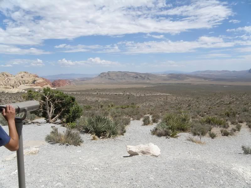
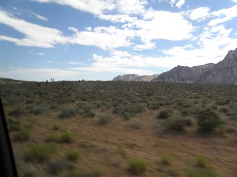
What we did see were awe-inspiring panoramas of hills, mountains and side canyons…and vegetation. The words “dead stinking desert” should not be used together…unless maybe one is referring to Death Valley.
And we saw an Anasazi campsite.
 Calico Hills |
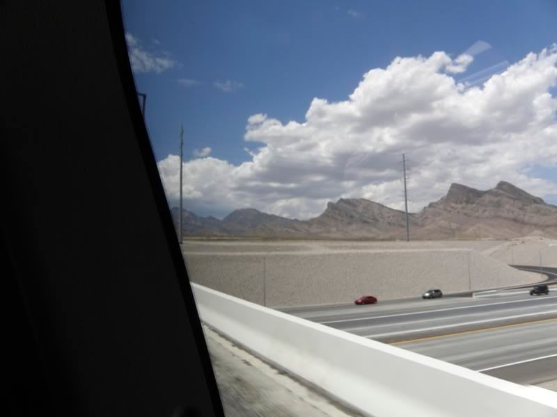
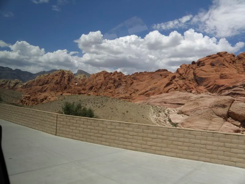
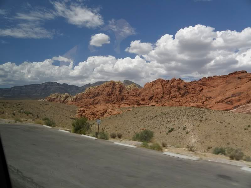
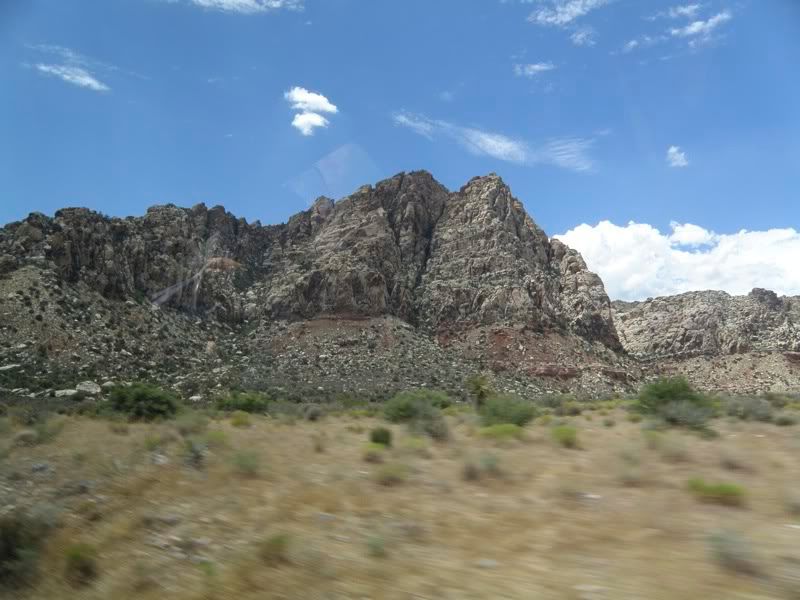
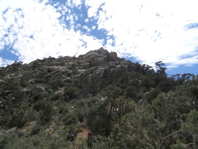
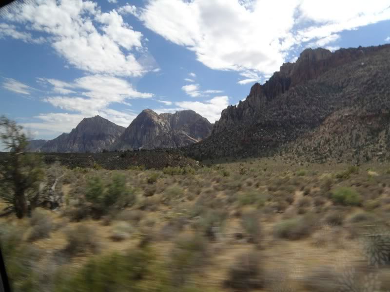
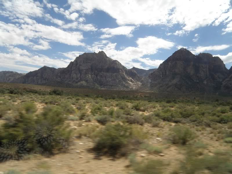
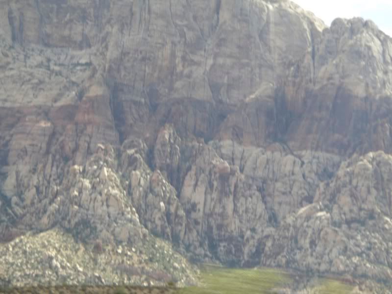
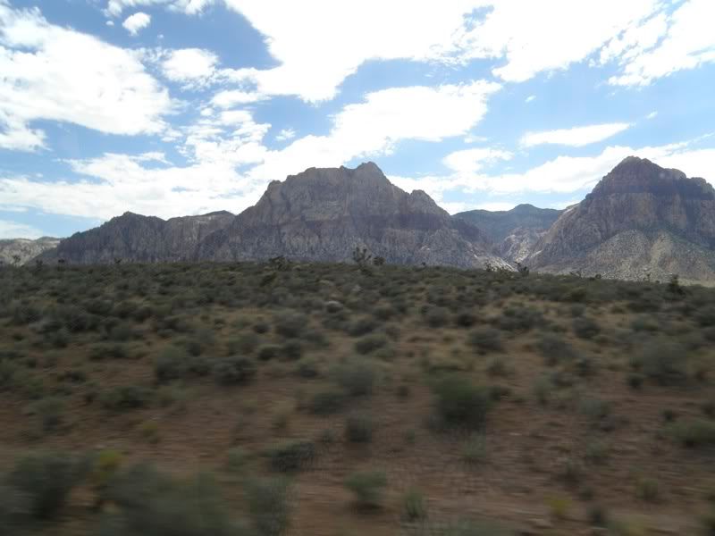
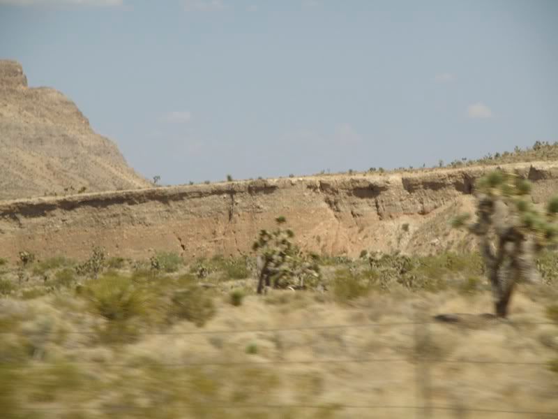
The area was formed as part of what is called the Keystone Thrust. Roughly, the Pacific plate pushed under the continental plate. That gives some strange geological features and sequencing. You can see some of the uplift in the photo to the right, clearly taken when we were on the freeway approaching the site.
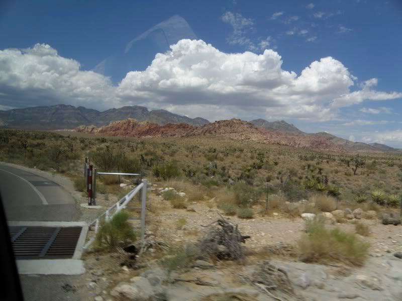
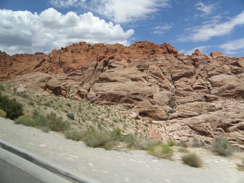
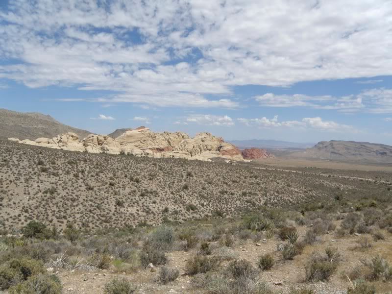
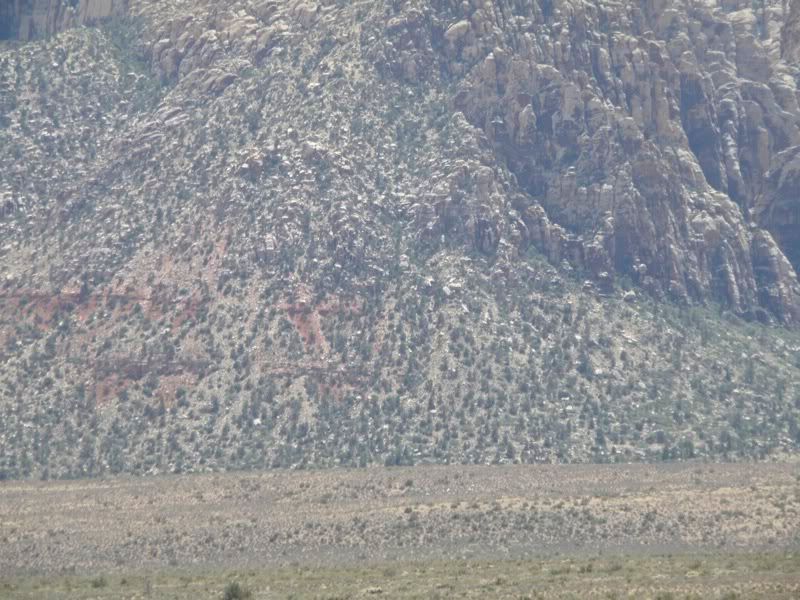
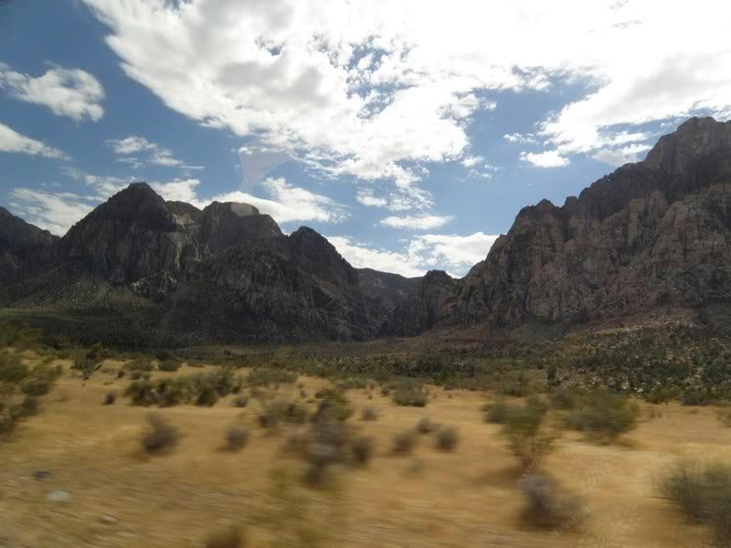
As we got closer, we could start to see the redness that gives the area its name. The photo shows the Calico Hills, which form the east side of Red Rock Canyon.
 Dead, you know |
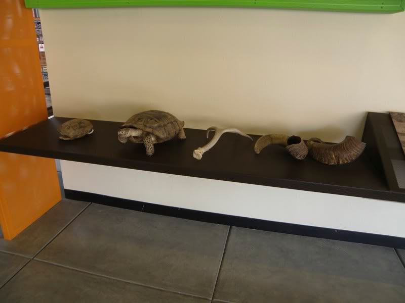
We stopped at the Visitor’s Center on the way into the area, which was a good thing because my camera batteries had died.
Reloaded, I got some images of deceased animal remains…
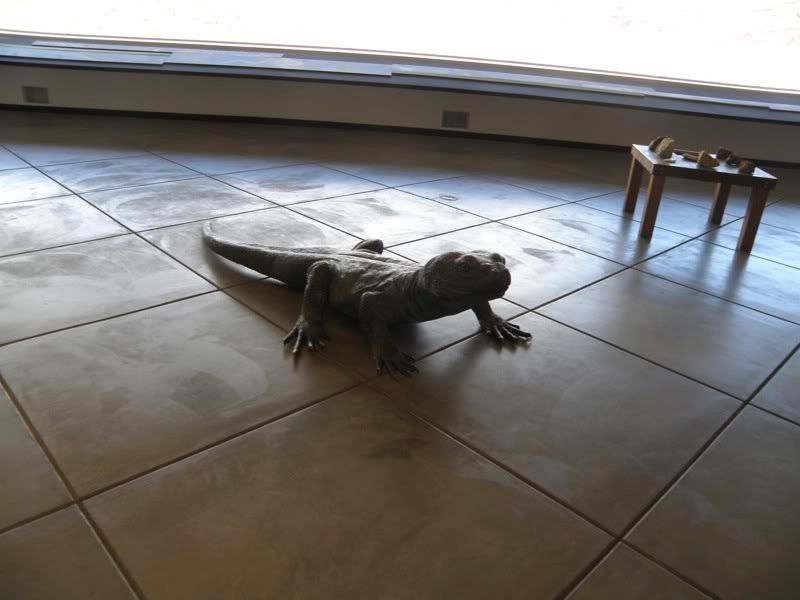 Never Alive |
…a sculpture of a desert iguana…
…and a real live chuckwalla in an aquarium.
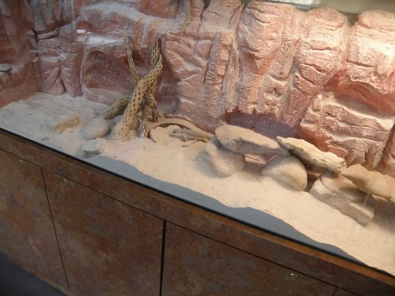 Live Chuckwalla |
Oh, and they had some petroglyphs, hoping that by showing them, they might stem the need for visitors to find and possibly deface other works in the area.
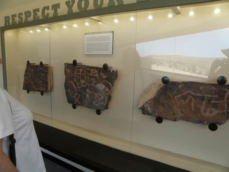 Petroglyphs |
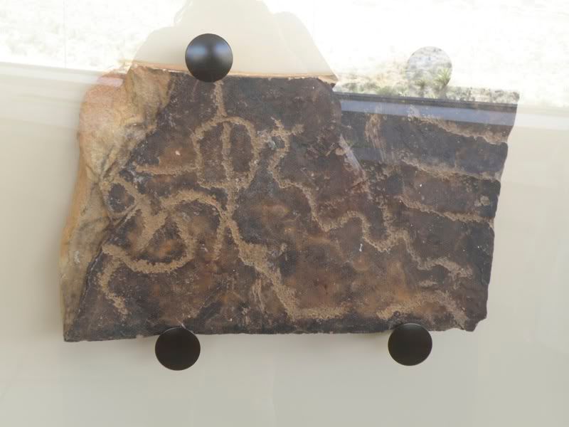 Close-up Petroglyph |
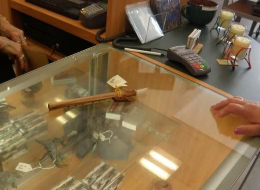
Debbie purchased a flute.
 Flute |
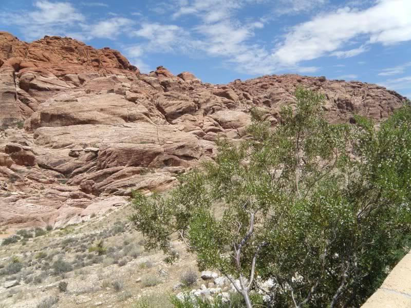
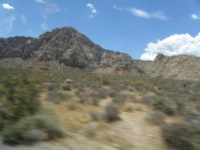
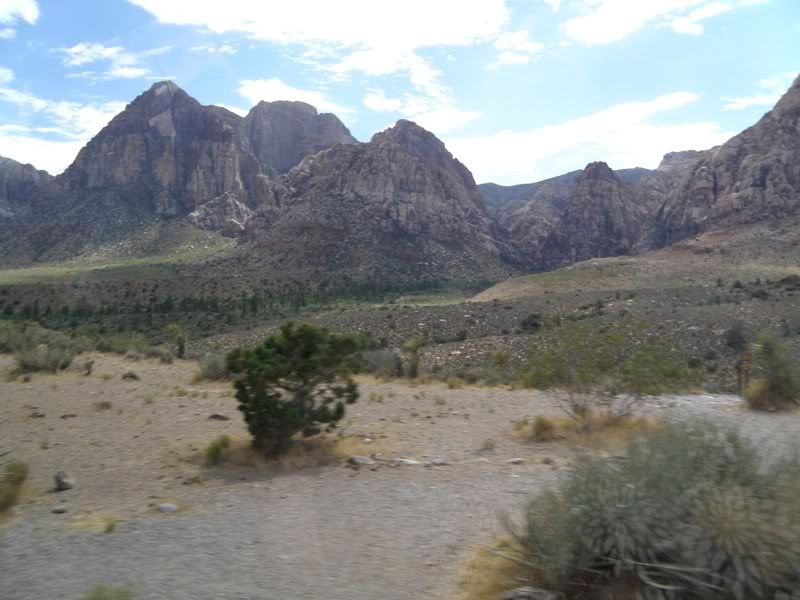
We drove onward, first towards the Calico Hills.
 Callico Hills Panorama Left |
 Calico Hills Panorama Right |
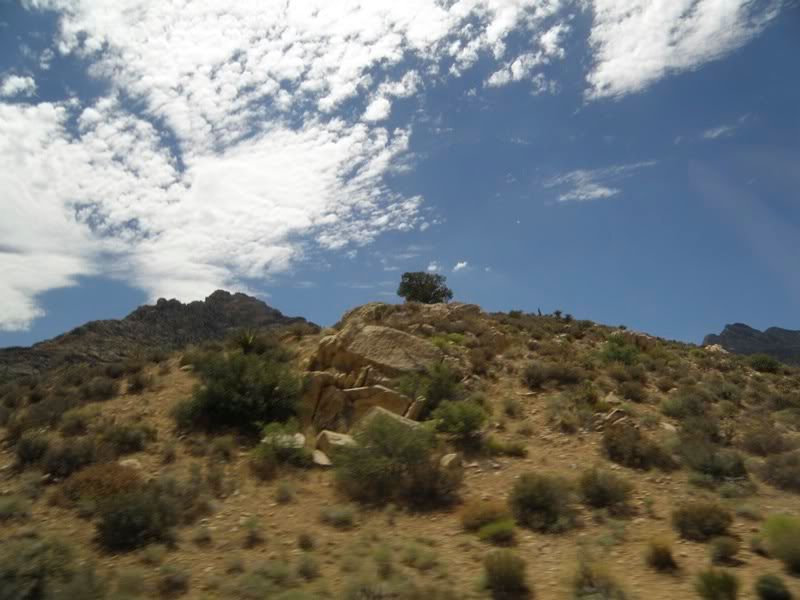
Vegetation in a desert? Well, of course there is.
 Pinyon Pine |
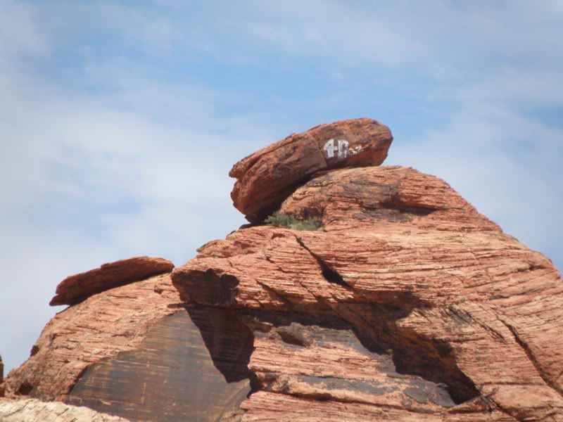
Up at the top of the previous photo was a balanced rock formation that Debbie wanted a picture of. The balancing rock had been defaced, it turns out:
 Balanced Rocks |
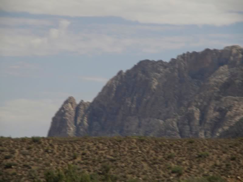
 End of the Hills |
 Geological Change |
And the Calico Hills were eventually left behind…
 Hills Left Behind |
…in favor of taller structures…
 New Hills |
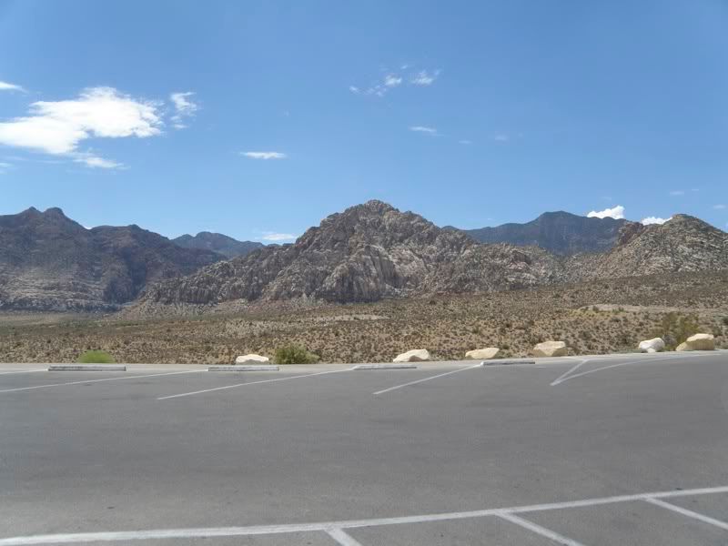
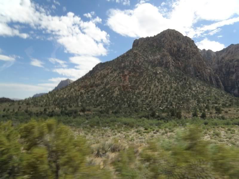
 La Madre Mountains |
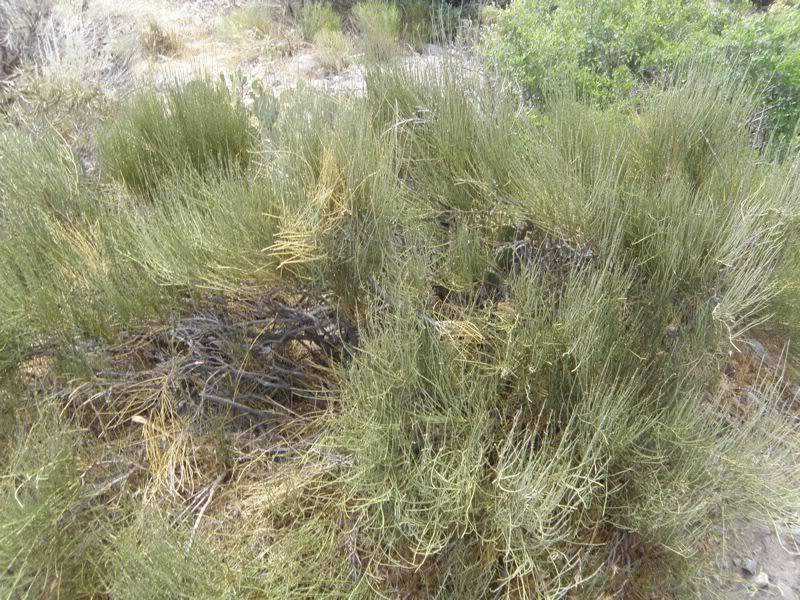
…with a lot more vegetation than one might expect.
 Vegetation |
The way out of this is back whence we came:
 The Way Out |
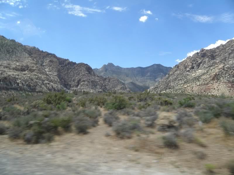
Can you imagine crossing this in a wagon…with riders going on ahead to discover that beyond these mountains is another range…and beyond that is more desert…until one comes to the Sierra Nevadas. And there is no pass through those directly in front of us.
 No Pass |
 No Pass |
 No Pass |
 No Way Out |
Those tall plants out there are agave.
 Agave |
These willow indicate there is water close underneath…an oasis, if you will.
 Oasis |
And we have some juniper pine, so now we can make gin as well as mescal…
 Juniper Pine |
…and prickly pear cactus…
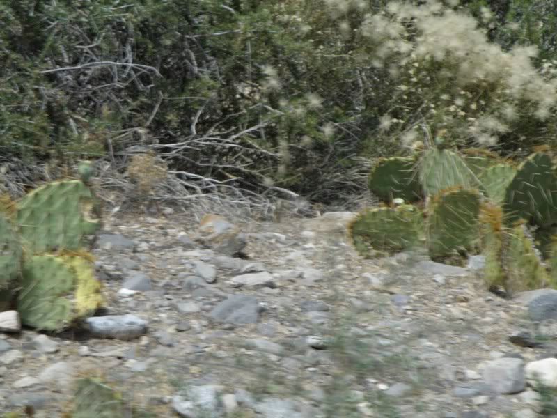 Prickly Pear |
…and desert oak…
 Desert Oak |
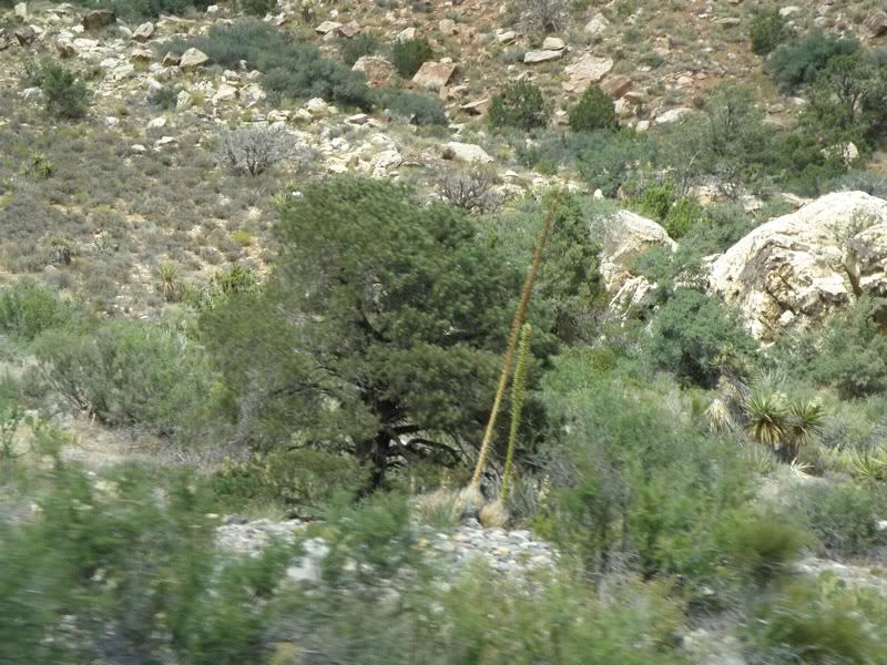
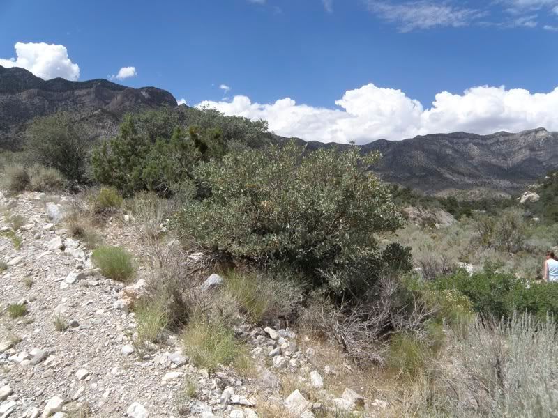
Juniper pine, pinyon pine and desert oak in abundance in the La Madre Mountains, which form the northern end of Red Rock Canyon.
 La Madre |
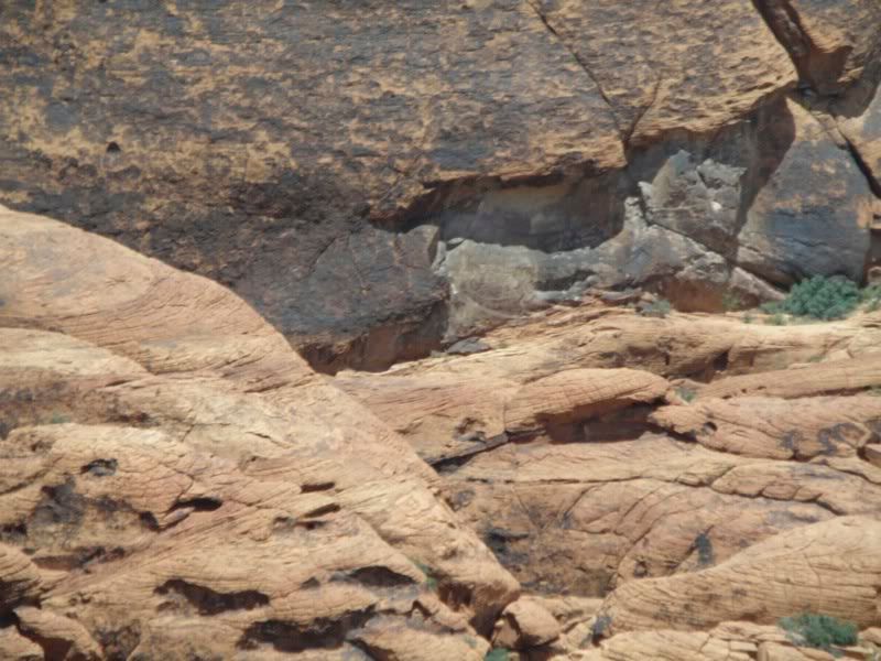
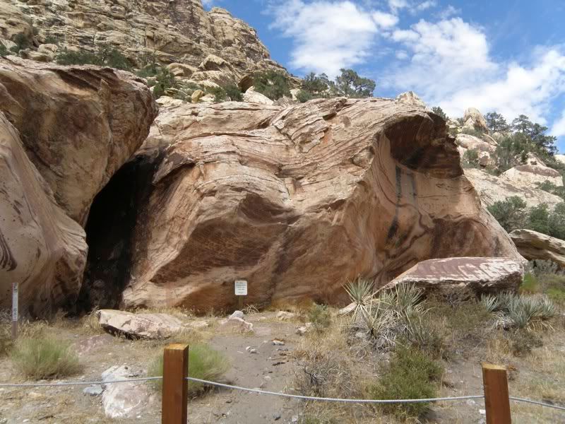
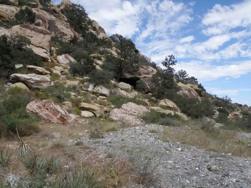
I was intrigued by some caves:
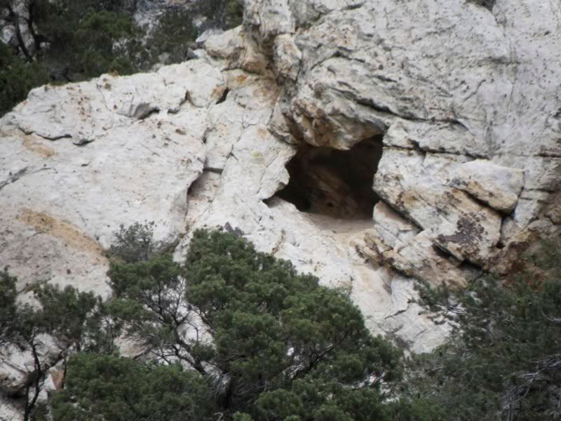 Cave 1 |
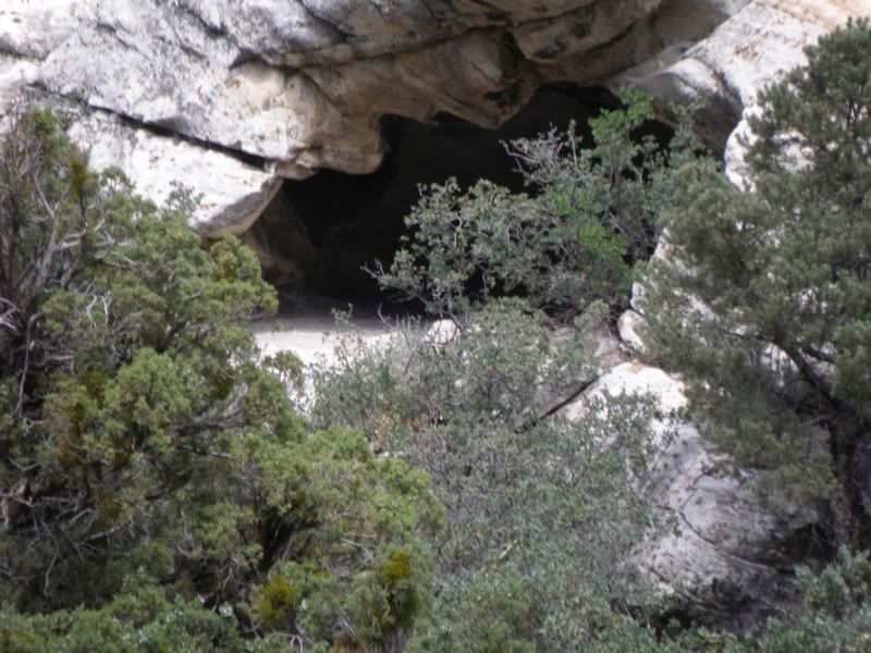 Cave 2 |
Sage…
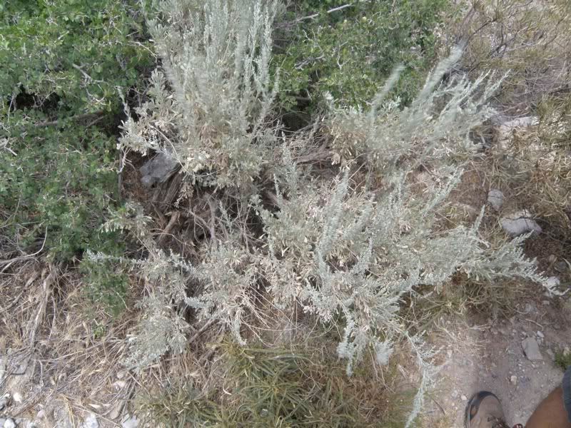 Sage |
…and Mormon Tea, which (ironically) is loaded with ephredine…
 Mormon Tea |
…and immature desert rhubarb.
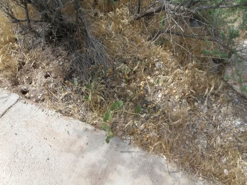 Desert Rhubarb |
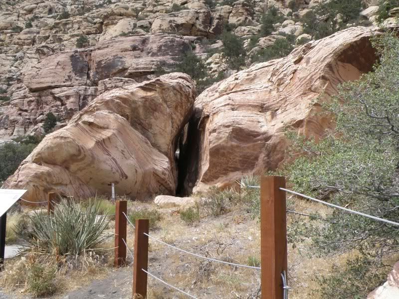
And we came to the Anasazi site. It is probable that the first people in the area were Tule Springs Indians, although there is no evidence. There is evidence of Pinto/Gypsum (3,500 B.C. to 1 CE), Anasazi (1 CE to 1150 CE), Patayan (900 CE to early 1800s), and Southern Paiute (900 CE to present)
 Anasazi Historical Site |
…with hand paintings…
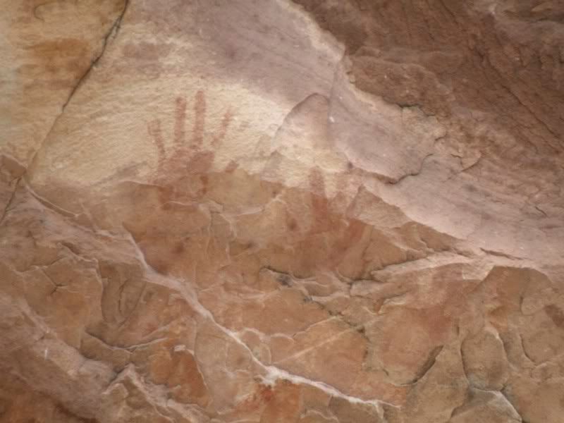 Hand Paintings |
 Anasazi Historical Site |
 Anasazi Historical Site |
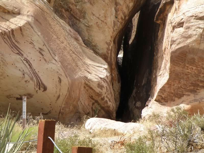
…and a large baking pit, indicating they were here for some time. I imagined an exploration party, establishing this as their base camp, looking for a way for their people to expand towards the west.
 Anasazi Oven Pit |
 Anasazi Historical Site |
We drove on…southward along the west side of the canyon…
 West Wall |
 West Wall 2 |
Some of the side canyons had more water in them…as evidenced at times by the presence of ponderosa pines marching out.
 Side Canyon |
 Side Canyon 2 |
The views were incredible.
 Side Canyon 2 |
 Side Canyon 2 |
The red stripe of rock reminds us where we are.
 Red Rock |
Occasionally we might even pass old wagon tracks (foreground).
 Tracks |
 Tracks |
And we return to the lower altitude vegetation dominated by yucca, sage, and Joshua trees, which aren’t trees at all, but rather a type of yucca.
This young Italian gentleman took the tour with us.
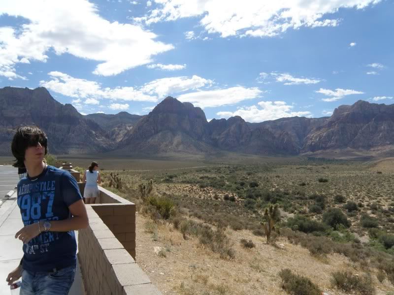 Fellow Traveler |
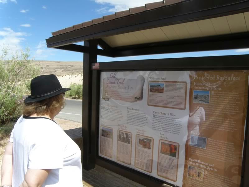
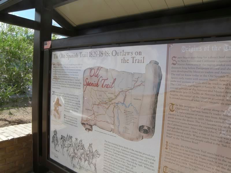
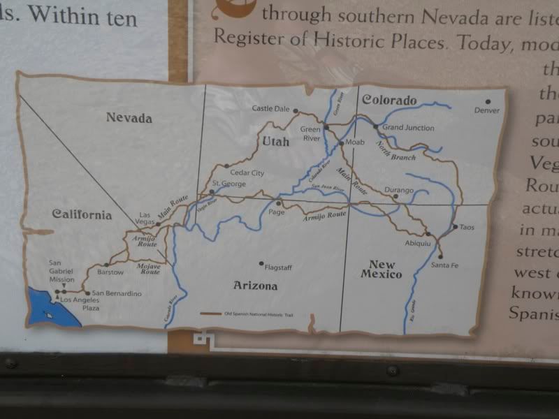
Here Debbie studies the map of the Old Spanish Trail, the trade route from Santa Fe to Los Angeles, explored by John C. Fremont and Kit Carson, but which had been in use by the Spanish since the 17th century.
 Old Spanish Trail |
 Old Spanish Trail 2 |
 Old Spanish Trail 3 |
A flowering desert willow:
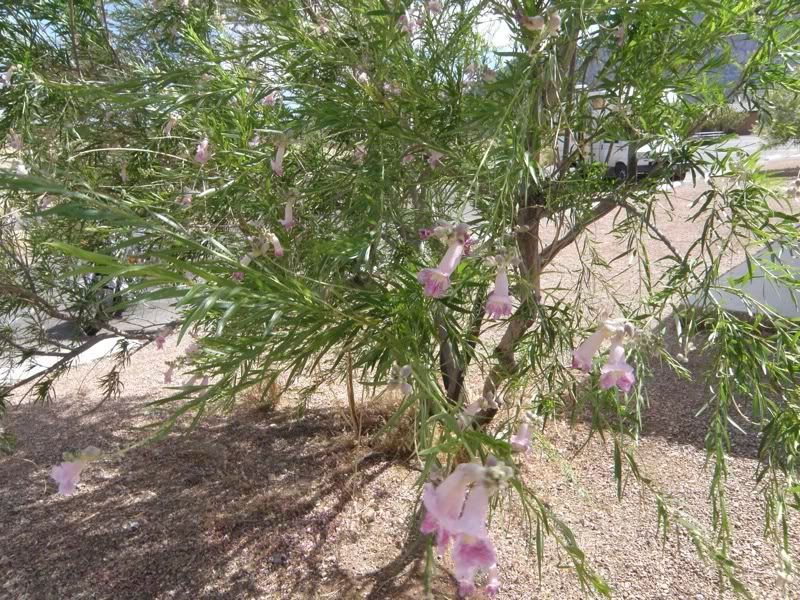 Desert Willow |
…and we head back to Vegas to catch our flight.
 Exit |
 Finis |
2 comments
Author
…of my daughter’s marriage..of which I am still awaiting official pictures. So that can wait.
The other photos I have are more of the Mojave and the Old Spanish Trail.